
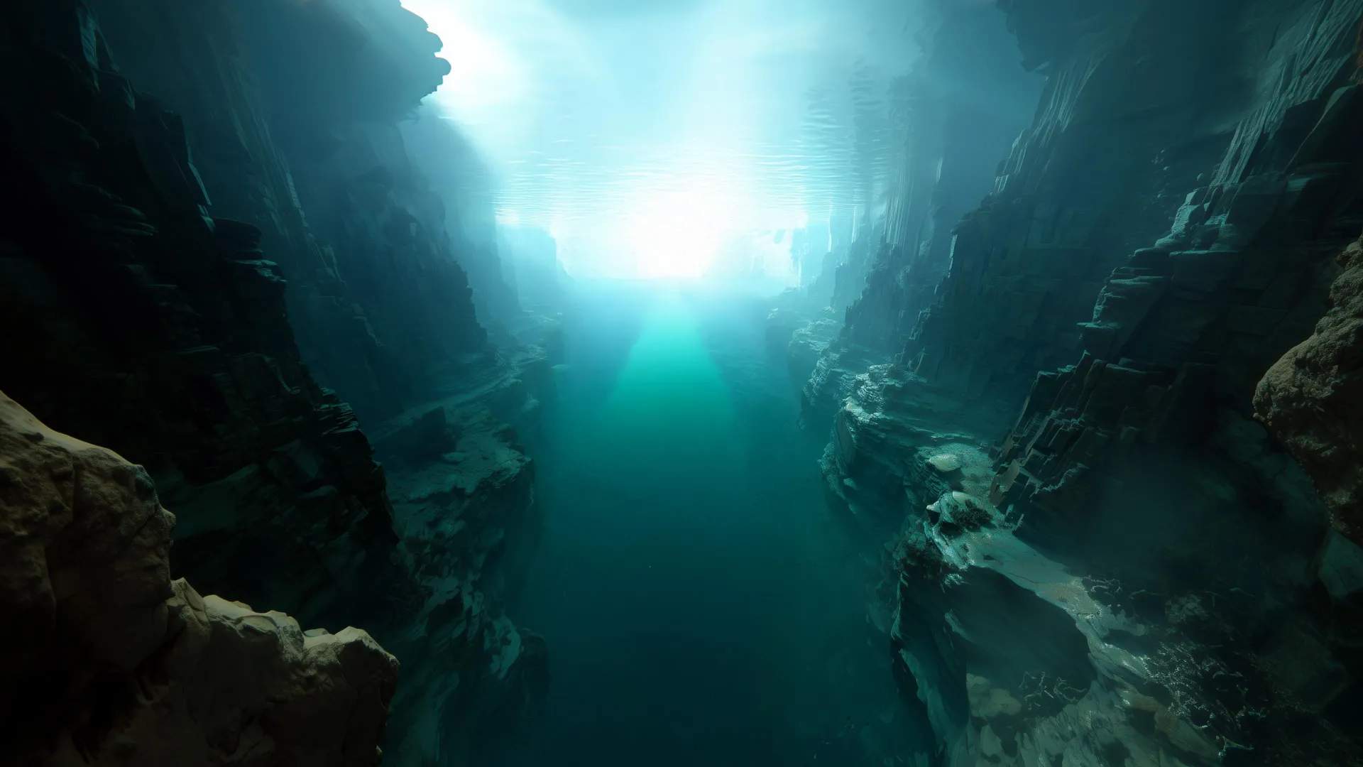
Approximately 1,000 kilometers off the coast of Portugal, in the vast expanse of the North Atlantic, lies one of the most striking and enigmatic examples of these submerged wonders: the King’s Trough Complex. This monumental underwater structure is not merely a single depression but a sprawling system that stretches for roughly 500 kilometers, comparable in length to the entire coastline of Portugal itself. It encompasses a series of parallel trenches, deep basins, and towering ridges, forming a complex topographical tapestry on the abyssal plain. At its eastern extremity lies Peake Deep, a particularly profound chasm that ranks among the deepest locations in the entire Atlantic Ocean, plunging to depths that dwarf many terrestrial mountain ranges. For decades, the sheer magnitude and intricate morphology of the King’s Trough have puzzled scientists, prompting fundamental questions about the immense geological forces capable of sculpting such a formidable landscape in the deep ocean.
What exactly created such an immense and intricate formation, far from the familiar processes that shape continents? A groundbreaking study by an international consortium of researchers, spearheaded by the GEOMAR Helmholtz Centre for Ocean Research Kiel, has finally begun to unravel this long-standing geological mystery. Their comprehensive findings, which shed significant new light on the origins and evolution of the King’s Trough, have been meticulously documented and published in Geochemistry, Geophysics, Geosystems (G-Cubed), a prestigious journal of the American Geophysical Union (AGU), renowned for its rigorous peer review and commitment to advancing Earth and space sciences. This publication marks a pivotal moment in understanding the geodynamic history of the North Atlantic.
"Researchers have long suspected that tectonic processes – that is, movements of the Earth’s crust – played a central role in the formation of the King’s Trough," states Dr. Antje Dürkefälden, a marine geologist at GEOMAR and the lead author of this seminal study. Her statement underscores the prior understanding that plate dynamics were somehow involved, but crucially, she adds, "Our results now explain for the first time why this remarkable structure developed precisely at this location." This critical distinction highlights the true breakthrough of the research: moving beyond mere correlation to pinpointing the specific conditions and sequence of events that localized such extraordinary deformation.
Seafloor Rifting Between Europe and Africa
The new research provides compelling evidence that between approximately 37 and 24 million years ago, a dynamic plate boundary separating the Eurasian and African tectonic plates temporarily traversed this specific region of the North Atlantic. This period, spanning some 13 million years, was characterized by intense geodynamic activity. As these colossal tectonic plates shifted and diverged, the oceanic crust in this area was subjected to immense extensional forces. The crust was progressively pulled apart, stretched, and fractured, initiating a process known as rifting. This rifting did not occur uniformly but rather systematically, opening progressively from east to west, much like a zipper being undone. This "unzipping" motion created the series of parallel trenches and basins that define the King’s Trough Complex today.
To fully appreciate this mechanism, it’s essential to understand the basics of plate tectonics. Earth’s outermost layer, the lithosphere, is broken into several large and small plates that are constantly moving relative to one another. At divergent plate boundaries, such as the one described, plates move away from each other. This pulling apart generates tension, causing the brittle upper crust to fracture along normal faults, leading to the subsidence of blocks of crust and the formation of rift valleys. On land, the East African Rift Valley is a prime example of this process in its nascent stages, while the Mid-Atlantic Ridge represents a mature oceanic divergent boundary where new seafloor is continually generated. The King’s Trough, however, represents a more complex and transient form of rifting, initiated by a shifting plate boundary rather than sustained seafloor spreading. The precise timing of this event, dated to the Oligocene epoch, places it within a period of significant reorganization of plate motions in the Atlantic, further emphasizing its geodynamic relevance.
However, the full explanation for the King’s Trough’s unique localization lies even deeper within the Earth. Before this transient plate boundary migrated into the area, the oceanic crust in this particular region had already undergone a profound transformation: it had become unusually thick and significantly heated. This pre-existing condition was not arbitrary but rather the direct result of hot, buoyant material rising upward from Earth’s mantle. This phenomenon is known as a mantle plume—a steady, column-like upwelling of molten and semi-molten rock originating far below the surface, potentially from the core-mantle boundary or a shallower mantle reservoir.
The research team posits that this particular mantle upwelling was an early, perhaps nascent, offshoot of what is now the Azores mantle plume. The Azores archipelago, located further south, is famous for its active volcanism and anomalous crustal thickness, both attributed to a powerful and long-lived mantle plume. The idea that the King’s Trough region experienced a similar, albeit perhaps less intense or transient, plume activity in its past provides a crucial piece of the puzzle. Mantle plumes bring not only heat but also often contribute to the partial melting of the overlying mantle, which can lead to increased magma production and, consequently, the formation of unusually thick oceanic crust. This thickened, warmer crust would have fundamentally altered the mechanical properties of the lithosphere in the King’s Trough area.
"This thickened, heated crust may have made the region mechanically weaker, so that the plate boundary preferentially shifted here," explains co-author PD Dr. Jörg Geldmacher, also a marine geologist at GEOMAR. His insight is critical: the pre-conditioning of the crust by the mantle plume created a zone of weakness. When the regional tectonic stresses began to pull the plates apart, the path of least resistance was through this already compromised crust. Instead of forming a new rift elsewhere, the existing plate boundary "jumped" or localized its extensional deformation in this geologically vulnerable zone. This concept of pre-existing crustal weakness influencing the location of subsequent tectonic events is a fundamental principle in structural geology and plate tectonics. "When the plate boundary later moved further south towards the modern Azores, the formation of the King’s Trough also came to a halt," Dr. Geldmacher concludes, elegantly tying the cessation of the rifting to the migration of the plate boundary, effectively explaining the transient nature of this dramatic seafloor feature.
How Mantle Activity Shapes the Atlantic
The King’s Trough stands as an exceptional and clear example of the intricate interplay between deep mantle processes and the shifting dynamics of tectonic plates. It unequivocally demonstrates that activity occurring far below the Earth’s surface—specifically, the upwelling of mantle plumes—can profoundly influence and "prepare" the overlying lithosphere for later deformation. This deep-seated preparation, in turn, dictates where major fractures, rifts, and other significant geological structures will eventually develop. It highlights that Earth’s systems are interconnected, with processes in the lower mantle influencing surface topography and plate configurations over millions of years.
These groundbreaking findings also shed considerable light on the broader geodynamic history and evolution of the Atlantic Ocean. The Atlantic is a relatively young ocean basin, having opened as Pangea supercontinent began to rift apart approximately 180 million years ago. Its complex seafloor morphology is a testament to a long history of rifting, seafloor spreading, and episodic tectonic reorganizations. Understanding how transient plate boundaries and mantle plumes interacted in the formation of the King’s Trough provides a powerful analogue for interpreting other enigmatic features across the Atlantic basin.
Moreover, the researchers suggest that similar processes may still be underway today, offering a modern-day laboratory for observing these phenomena. Near the Azores archipelago, a region renowned for its complex geodynamics and the influence of the Azores mantle plume, a comparable trench system called the Terceira Rift is actively forming. This rift is developing in another area where the oceanic crust is unusually thick, directly linking it to ongoing mantle plume activity and crustal weakening. The Terceira Rift, part of the complex Azores Triple Junction where the North American, Eurasian, and African plates meet, is a powerful contemporary example of how localized crustal anomalies, often driven by deep mantle processes, can dictate the geometry and evolution of active plate boundaries. By studying both the ancient King’s Trough and the active Terceira Rift, scientists can build a more comprehensive model for how ocean basins evolve and how the deep Earth influences its surface.
Mapping the King’s Trough: The Expedition and Methodology
The profound conclusions reached by the research team are not theoretical speculations but are firmly rooted in meticulously collected empirical data. The cornerstone of this study was data acquired during research expedition M168, undertaken aboard the German research vessel METEOR in 2020. This expedition, expertly led by Dr. Antje Dürkefälden herself, embarked on a comprehensive mission to survey and sample the King’s Trough Complex.
One of the primary objectives of the expedition was high-resolution seafloor mapping. Utilizing state-of-the-art multibeam sonar technology, the scientists were able to produce an exceptionally detailed bathymetric map of the King’s Trough. This technology works by emitting sound waves and measuring the time it takes for them to bounce off the seafloor and return, creating a precise topographic image. Such detailed maps are indispensable for understanding the morphology of submarine features, revealing the intricate patterns of trenches, ridges, and fault lines that define the complex. Without this precise mapping, understanding the "zipper-like" rifting mechanism would have been impossible.
Beyond mapping, direct geological sampling was crucial. The team retrieved numerous volcanic rock samples from various parts of the trench system using a chain bag dredge. This robust sampling device is dragged along the seafloor, collecting loose rocks and debris. Volcanic rocks are particularly valuable in geological studies because they are direct products of mantle melting and subsequent eruption. They carry a chemical signature of their source region in the mantle and can be accurately dated, providing critical temporal constraints for geological events.
Back in the sophisticated laboratories at GEOMAR and collaborating institutions, these retrieved rock samples underwent rigorous examination. The team analyzed the chemical makeup of the rocks, meticulously studying their major, trace, and rare earth element concentrations, as well as their isotopic compositions. These geochemical fingerprints provide invaluable insights into the mantle source from which the magma originated, the degree of partial melting, and any subsequent processes like crustal contamination. For instance, specific trace element ratios can indicate the presence of a mantle plume component versus a more typical mid-ocean ridge basalt source.
To establish the precise timing of the King’s Trough’s formation and the associated volcanic activity, selected samples were sent for radiometric dating at the renowned University of Madison (Wisconsin, USA). Techniques such as argon-argon (Ar-Ar) or potassium-argon (K-Ar) dating, which measure the decay of radioactive isotopes within the minerals of the rocks, allowed the scientists to determine the crystallization ages of the lavas with high accuracy. These absolute ages were fundamental in correlating the volcanic activity with the proposed period of plate boundary migration and rifting, validating the chronological sequence of events.
The research also benefited from additional bathymetric data generously provided by the Portuguese research centre Estrutura de Missão para a Extensão da Plataforma Continental (EMEPC). This collaboration highlights the international and multidisciplinary nature of modern marine science, where sharing data and expertise across national borders is paramount to solving complex geological puzzles. Furthermore, researchers from Kiel University and Martin Luther University Halle-Wittenberg also made significant contributions to the study, underscoring the collaborative spirit that drives major scientific breakthroughs.
In essence, the study of the King’s Trough Complex represents a triumph of modern marine geology, blending advanced seafloor mapping, sophisticated geochemical and geochronological analyses, and a deep understanding of plate tectonic theory. It paints a vivid picture of a transient, yet immensely powerful, episode in Earth’s history where the deep mantle, the lithosphere, and plate boundary dynamics converged to sculpt one of the most spectacular, albeit hidden, features of the Atlantic seafloor. This research not only solves a long-standing mystery but also opens new avenues for understanding the fundamental processes that continue to shape our dynamic planet.