
For decades, these vibrant, rose-hued rocks have presented a perplexing anomaly to researchers. Perched incongruously high on the dark, basaltic ridges of the Hudson Mountains, an area predominantly characterized by much younger volcanic activity, their presence seemed utterly out of place. Geologists pondered their origin: How did these ancient granites reach such elevated positions amidst a relatively young volcanic landscape? What deeper secrets might they hold about Antarctica’s geological evolution and, crucially, the long-term dynamics of its vast ice sheets, which profoundly influence global sea levels? The puzzle spurred expeditions and investigations, driven by the understanding that such geological outliers often serve as vital keys to unlocking broader Earth system mysteries.
Dating Ancient Rocks From the Jurassic Period: A Window into Gondwana
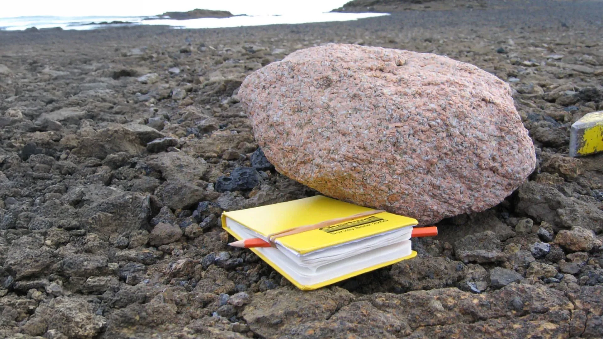
To unravel the mystery of the granite boulders, a dedicated research team, spearheaded by the British Antarctic Survey (BAS), embarked on a rigorous geological analysis. Their primary tool involved examining the radioactive decay of specific elements meticulously trapped within the microscopic mineral crystals of the granite samples. This technique, most commonly uranium-lead (U-Pb) dating of zircon crystals, leverages the predictable rate at which unstable isotopes decay into more stable ones. Zircon, a remarkably durable mineral, incorporates uranium but rejects lead during its formation, making it an ideal geological clock. By measuring the ratio of parent uranium isotopes to stable lead daughter isotopes, scientists can precisely determine the age at which the crystal crystallized from molten rock.
The meticulous analysis revealed that these enigmatic rocks formed approximately 175 million years ago, placing their genesis firmly within the Jurassic period. This timeframe is profoundly significant in Earth’s history. It coincides with the initial stages of the supercontinent Gondwana’s fragmentation, a colossal landmass that once united present-day South America, Africa, India, Australia, and Antarctica. The discovery of granite of this age in West Antarctica provides compelling evidence for a continental crustal connection to the broader Gondwanan landmass, suggesting that this region was once part of a larger, more integrated continental block before it began to rift apart. Such ancient granitic intrusions are characteristic of continental interiors, often forming during periods of intense tectonic activity and mountain building. Their presence beneath the West Antarctic Ice Sheet (WAIS) suggests a deep, stable continental foundation in a region previously thought to be dominated by a younger, more fragmented arc of volcanic islands.
Even with their ancient age precisely determined, the extraordinary journey of these massive granite boulders to their high-altitude perches on the mountaintops remained an unresolved enigma. Conventional geological processes could not adequately explain their displacement from what was presumed to be their deep-seated origin. The missing piece of the puzzle required a different kind of data – one that could penetrate the immense ice sheet itself.
Airborne Surveys Reveal Buried Structure: Peering Beneath the Ice
The breakthrough came with the acquisition of new, high-resolution geophysical data gathered from extensive airborne surveys conducted over the region. Utilizing BAS’s specially adapted Twin Otter aircraft, equipped with an array of highly sensitive scientific instruments, researchers meticulously collected gravity measurements across the vast, ice-covered landscape. Gravity surveys work on the principle that variations in the Earth’s gravitational field can reveal differences in the density of underlying geological structures. Denser materials, like volcanic basalt or the Earth’s mantle, exert a stronger gravitational pull, while less dense materials, such as granite or sedimentary rocks, produce a weaker signal.
As the Twin Otter meticulously crisscrossed the Hudson Mountains and the adjacent Pine Island Glacier, the highly sensitive gravimeters detected an unmistakable and unusual signal emanating from beneath the glacier’s immense weight. This distinctive gravitational signature perfectly matched what scientists would expect from a massive, low-density granite body hidden deep below the ice surface. The contrast between the granite’s relatively lower density and the surrounding, denser volcanic rocks and the overlying ice created a clear gravitational anomaly that pointed directly to the buried mass. This confluence of geological and geophysical data provided the crucial link, unequivocally connecting the ancient granite boulders found on the surface to this gargantuan, deep-seated formation.
Connecting the surface boulders to this newly discovered deep underground formation was a watershed moment, finally solving a long-standing geological mystery that had perplexed scientists for decades. More profoundly, it offered an unprecedented glimpse into the past dynamics of Pine Island Glacier itself. The presence of these granite erratics high on the volcanic peaks revealed that the glacier, in a much earlier, thicker state, must have moved very differently from its current trajectory. It had the power to pluck and entrain massive rocks from its base, transporting them uphill and depositing them as the ice sheet receded. This process, known as glacial quarrying and transport, indicates an ice sheet with immense erosive power and a significantly different flow regime, capable of overriding and sculpting the subglacial topography to a far greater extent than previously imagined.
Clues to Ice Sheet Behavior and Sea Level Rise: A Historical Blueprint for the Future
This remarkable discovery provides invaluable insight into how the West Antarctic Ice Sheet (WAIS) and specifically the Pine Island Glacier (PIG) behaved during the last ice age, approximately 20,000 years ago, known as the Last Glacial Maximum (LGM). During the LGM, global ice sheets were far more extensive and thicker than today, and the WAIS was no exception. Understanding the processes by which the ice sheet eroded, transported, and deposited these enormous granite boulders offers a unique "paleo-ice flow indicator." It helps scientists reconstruct the past extent, thickness, and movement patterns of the glacier. For instance, the fact that these boulders were transported uphill implies that the ice sheet must have been significantly thicker, allowing it to override existing topography and pluck material from its bed before depositing it at higher elevations as the ice mass diminished.
By meticulously understanding these past ice thickness and movement patterns, scientists can significantly improve the accuracy and predictive power of the sophisticated computer models used to simulate and forecast how Antarctica’s colossal ice sheets may respond to ongoing and future climate change. These models, often referred to as Ice Sheet Models (ISMs), are complex numerical tools that incorporate various physical processes – ice flow dynamics, basal friction, surface melt, accumulation, and ocean interaction. Calibrating these models with real-world geological evidence from past ice sheet configurations is absolutely critical. If a model can accurately reproduce the conditions that led to the observed geological features (like the granite erratics), it instills greater confidence in its ability to predict future scenarios, particularly concerning ice loss and its contribution to global sea level rise. Without such geological constraints, models can be prone to significant uncertainties, leading to a wider range of sea level projections.
Dr. Tom Jordan, the lead author of the study and a distinguished geophysicist at the British Antarctic Survey, played a pivotal role in analyzing the complex airborne data. He articulated the profound implications of the findings, stating, "It’s truly remarkable that a handful of bright pink granite boulders, seemingly out of place on the surface, have ultimately led us to uncover a hidden geological giant beneath the ice. This isn’t just a geological curiosity; it’s a critical piece of the puzzle for understanding Antarctica’s past and future." He further elaborated, "By ingeniously combining geological dating techniques, which tell us the age and origin of the rocks, with highly sensitive gravity surveys that reveal the hidden topography and composition beneath the ice, we’ve not only solved a long-standing mystery about where these unusual rocks came from, but we’ve also unlocked entirely new information about how the ice sheet flowed in the distant past. This historical data is indispensable for refining our predictive models and gaining a more accurate foresight into how this critical part of the West Antarctic Ice Sheet might change in response to future climate warming."
Why Subglacial Geology Matters Today: The Bedrock of Ice Sheet Stability
The findings extend far beyond historical reconstruction; they also cast a critical light on how the underlying geology beneath Pine Island Glacier profoundly influences its present-day behavior and its rapid response to climate change. The Pine Island Glacier (PIG) and its neighbor, Thwaites Glacier, are often referred to as the "weak underbelly" of the West Antarctic Ice Sheet. This region has experienced some of the most dramatic and fastest rates of ice loss in Antarctica over recent decades, contributing significantly to global sea level rise. Understanding the subglacial environment – the bedrock topography, its composition, and its interaction with the overlying ice – is paramount to accurately predicting future ice dynamics.
The type of rock beneath a glacier significantly influences several key processes that govern ice flow and stability. For instance, the presence of a hard, abrasive granite bed, as opposed to softer sedimentary rocks, affects how easily the ice slides over it. A rough, irregular granite surface can create more basal friction, potentially slowing ice flow, while a smoother, lubricated bed allows for faster movement. Furthermore, the geothermal heat flux – the heat radiating from the Earth’s interior – can vary depending on the underlying rock type and its radioactive element content. Higher geothermal heat can lead to increased basal melting, creating a layer of meltwater that acts as a lubricant, further accelerating ice flow.
Moreover, the geology dictates how meltwater, generated at the base of the glacier, moves and accumulates. Subglacial channels, lakes, and hydrological networks are profoundly shaped by the contours and permeability of the bedrock. These subglacial water systems can significantly impact ice dynamics, influencing basal lubrication and even triggering rapid changes in ice flow through processes like basal water pressure fluctuations. The discovery of such a massive granite body, with its unique thermal and hydrological properties, necessitates a re-evaluation of current models that often simplify the subglacial environment. Better understanding these intricate processes, from basal friction to meltwater drainage pathways, will enable scientists to refine their models with greater precision, leading to more robust estimates of future sea level rise and its potential impacts globally.
Rocks as Records of Antarctica’s History: A Treasure Trove of Information
Dr. Joanne Johnson, a co-author of the study and a distinguished geologist also with the British Antarctic Survey, played a crucial role in the initial fieldwork, meticulously collecting the granite boulders during expeditions to the Hudson Mountains. Her work was part of the broader International Thwaites Glacier Collaboration (ITGC), a multi-national, multi-disciplinary research effort dedicated to understanding the dynamics and potential future of the Thwaites Glacier system, a region critical for global sea level projections.
Dr. Johnson eloquently emphasizes the enduring power of geological evidence: "Rocks provide an absolutely amazing and irreplaceable record of how our planet has changed over vast stretches of geological time, particularly how the immense forces of ice have relentlessly eroded and dramatically altered the landscape of Antarctica." She further notes, "Boulders like these, seemingly ordinary at first glance, are in fact a priceless treasure-trove of information about what lies deep beneath the immense and often inaccessible ice sheet, far out of reach of direct observation. They are messengers from a hidden world."
By successfully identifying the ultimate source of these displaced granite erratics, the research team has been able to meticulously piece together the extraordinary narrative of how they came to be where they are today. This geological detective work provides invaluable clues about the past configuration and dynamics of the West Antarctic Ice Sheet, offering a historical blueprint that is critical for understanding its potential future evolution. "This information is absolutely vital," Dr. Johnson stresses, "for accurately determining the future impact of sea level rise on coastal populations and low-lying communities around the world. The fate of these Antarctic ice sheets has direct and profound consequences for human societies globally."
This groundbreaking research unequivocally demonstrates the immense power and necessity of combining diverse scientific disciplines – in this case, the meticulous fieldwork of geology with the sophisticated remote sensing capabilities of geophysics. This synergistic approach allows scientists to uncover hidden features and unravel complex processes beneath Antarctica’s vast ice cover, deepening our fundamental understanding of the powerful forces that have shaped, and continue to shape, our dynamic planet. As climate change accelerates, such interdisciplinary investigations become increasingly crucial for accurately predicting future environmental changes and informing critical societal decisions. The hidden granite giant beneath Pine Island Glacier is not merely a geological curiosity; it is a sentinel, offering profound insights into the Earth’s past to help us navigate its future.