
 By admin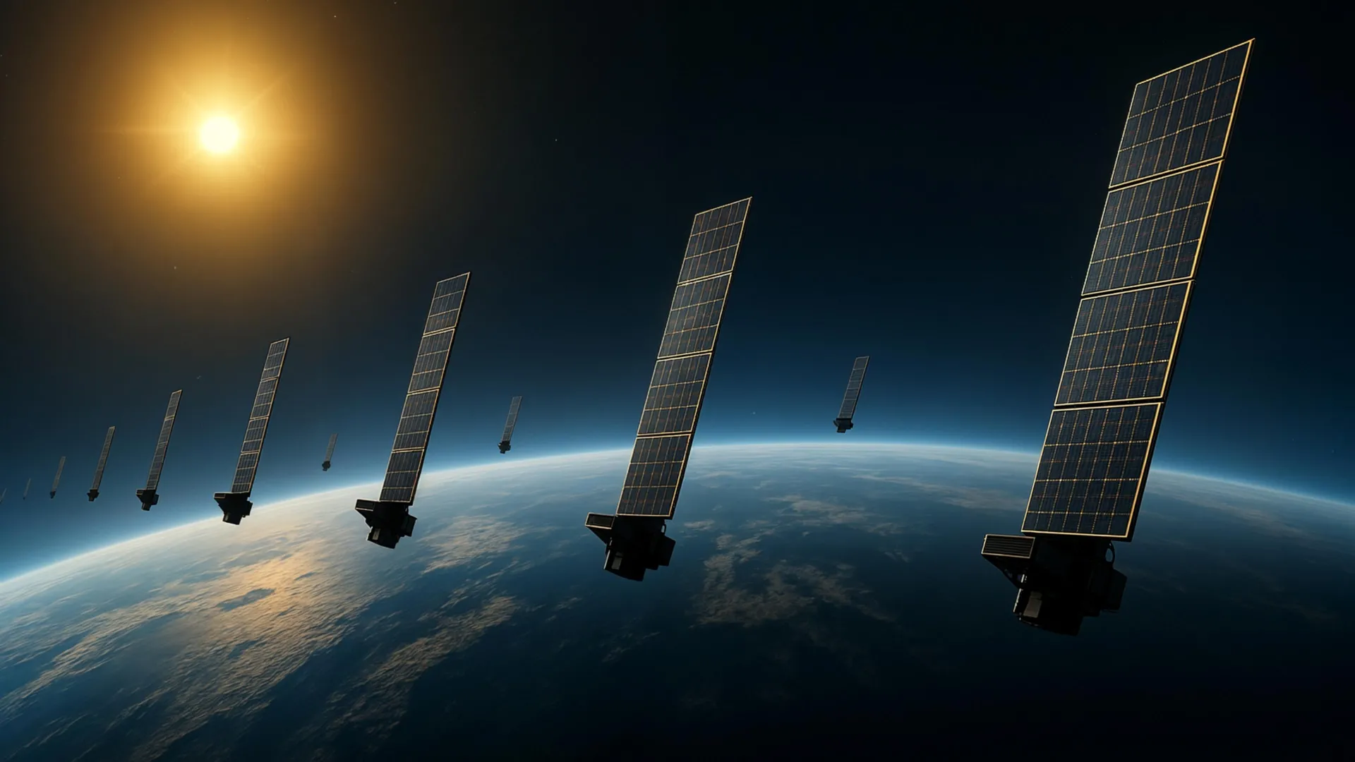
The Earth’s upper atmosphere, extending from approximately 100 kilometers to over 1,000 kilometers above the surface, is a dynamic and complex region. More than 99 percent of this upper atmosphere consists of electrically neutral gas, primarily atomic oxygen, molecular nitrogen, and helium, known as the thermosphere. The term thermospheric density specifically refers to the density of this neutral atmosphere within this vast altitude range. This region is directly exposed to solar radiation, which causes its temperature to fluctuate dramatically with solar activity, leading to significant expansion and contraction. Even though the gas is extremely diffuse—far less dense than the vacuum of space at ground level—the cumulative effect of its drag over time can alter a satellite’s trajectory, causing its orbit to decay and making its position increasingly unpredictable.
By comparison, the ionized gas of the ionosphere accounts for less than 1 percent of the total atmospheric mass in this region. The ionosphere, characterized by free electrons and ions, overlaps significantly with the thermosphere, extending from about 60 kilometers to over 1,000 kilometers. Its electrical properties make it relatively straightforward to observe using various techniques. Ground-based ionosondes, radars, and satellite-based GPS occultation measurements routinely provide data on electron density and other ionospheric parameters because the ionized gas affects the way radio waves travel. This interaction is crucial for long-distance radio communication and GPS navigation. In stark contrast, measuring conditions in the thermosphere—the dominant component by mass—is much more difficult. Its neutral nature means it doesn’t directly interact with electromagnetic waves in ways that are easily detectable from afar, and direct in-situ measurements require specialized, often expensive, instruments like accelerometers on dedicated satellites. This gap in observational capability has long hindered both scientific understanding and practical applications related to space safety.
A New Paradigm for Observing the Elusive Thermosphere
The imperative for better measurements of thermospheric density is twofold: it could significantly advance fundamental research into the intricate physics of the upper atmosphere, while simultaneously providing invaluable, actionable information for the rapidly evolving field of space engineering and operations. Motivated by both these pressing needs, a dedicated team of researchers at Kyoto University in Japan embarked on an ambitious project, culminating in the development of a novel and highly effective technique for visualizing this notoriously difficult-to-observe region.
"This is a multidisciplinary study between space science and space engineering," says corresponding author Mamoru Yamamoto, highlighting the collaborative spirit that underpinned their breakthrough. "Reading papers from both research fields, we realized that deeper dialogue between researchers from both fields is necessary." This cross-pollination of ideas and methodologies proved crucial. Space scientists seek to understand the fundamental processes driving atmospheric dynamics, solar-terrestrial interactions, and energy transfer mechanisms. Space engineers, on the other hand, require precise data for practical applications like satellite design, mission planning, collision avoidance, and deorbiting strategies. By fostering a dialogue between these often-separate disciplines, the Kyoto University team was able to identify a unique synergy.
Their innovative approach leveraged the unprecedented proliferation of commercial satellite constellations, specifically utilizing publicly available orbital information from Starlink satellites. Starlink, operated by SpaceX, is a rapidly expanding mega-constellation designed to provide global internet access, comprising thousands of satellites in low Earth orbit. The sheer number of these satellites, their relatively uniform orbital characteristics, and the public availability of their orbital data (in the form of Two-Line Element, or TLE, sets) made them an ideal "sensor network" for the researchers. TLEs are standardized text files that provide the orbital state vector of a satellite at a specific epoch, allowing for the calculation of its past and future positions.
The team applied a technique known as tomography, a concept commonly associated with medical imaging like CT (Computed Tomography) scans, to Earth’s upper atmosphere. Just as a CT scan reconstructs a 3D image of the body from multiple 2D X-ray projections taken from different angles, the researchers used the orbital paths of numerous satellites as "lines of sight" through the thermosphere. By meticulously examining the minute atmospheric drag experienced by these satellites—manifesting as a gradual and predictable decay in their orbits—the team was able to infer and estimate the thermospheric density along each satellite’s path. Specifically, they analyzed data from approximately 1,200 Starlink satellites flying at an altitude of 482 kilometers. The rate at which a satellite’s orbit decays is directly proportional to the atmospheric density it encounters, making orbital decay a sensitive proxy for thermospheric density. By combining observations from a large number of satellites traversing different parts of the atmosphere, they could mathematically reconstruct a spatial map of density variations.
Constructing a Two-Dimensional Atmospheric Map: A Tomographic First
Using these sophisticated measurements and analytical techniques, the researchers successfully produced a two-dimensional latitude-longitude snapshot of thermospheric density at an altitude of roughly 500 kilometers. This represents a significant milestone in upper atmospheric research and space situational awareness. According to the team, this constitutes the first tomographic analysis of its kind applied to thermospheric density, providing an unprecedented spatial view of this critical region. Previous methods often provided localized, point-in-time measurements or broad global models that lacked fine-grained spatial resolution. This new map offers a "geographic" perspective, revealing how density varies across different regions of the globe at a specific altitude.
Crucially, the validity and accuracy of their novel tomographic density patterns were robustly corroborated by independent observations. The results showed strong consistency with data from the European Space Agency’s (ESA) SWARM satellites. SWARM is a constellation of three identical satellites launched in 2013, designed to precisely measure Earth’s magnetic field. As part of their mission, SWARM satellites are equipped with highly sensitive accelerometers that can directly measure the non-gravitational forces acting on the spacecraft, including atmospheric drag. By analyzing these drag measurements, SWARM provides invaluable, direct insights into changes in atmospheric density along its orbital paths. The strong agreement between Kyoto University’s tomographic reconstructions and SWARM’s direct measurements serves as powerful validation for the new technique, bolstering its credibility and utility.
This groundbreaking work builds upon and significantly expands an earlier study conducted by the same Kyoto University team. In that foundational research, scientists had already demonstrated the feasibility of using general orbital information, specifically Two-Line Element (TLE) data from Starlink satellites, to estimate how thermospheric density changed over time and altitude. That study provided a valuable vertical and temporal profile of density variations. The new analysis, however, adds a crucial third dimension by meticulously examining how density varies horizontally across latitude and longitude. This horizontal mapping capability reveals much more of the thermosphere’s geographic structure, offering insights into phenomena like atmospheric waves, tides, and the complex interplay between solar input and Earth’s magnetic field that drive density variations across the globe.
Making Crowded Orbits Safer and Enabling Advanced Space Weather Forecasting
The implications of these findings extend far beyond academic curiosity, promising significant practical benefits as the number of objects orbiting Earth continues its alarming upward trend. More accurate, spatially resolved information about atmospheric density can dramatically improve predictions of satellite motion. Current atmospheric models, while continually improving, still carry significant uncertainties, particularly during periods of intense solar activity. These uncertainties translate directly into errors in forecasting satellite trajectories. By reducing these errors, the new tomographic technique can help space operators achieve more precise collision avoidance maneuvers, thereby significantly reducing the chance of catastrophic collisions between active satellites and between satellites and the ever-growing cloud of space debris. This enhanced predictability is vital for maintaining a sustainable and operational space environment.
Furthermore, the technique holds immense promise for the advancement of space weather forecasting. Space weather, driven by solar events such as solar flares and coronal mass ejections (CMEs), can have profound effects on Earth’s upper atmosphere. Geomagnetic storms triggered by CMEs inject energy into the thermosphere, causing it to heat up, expand, and increase in density. This increased density leads to significantly higher drag on satellites, affecting their orbits more drastically and unpredictably. The ability to monitor thermospheric density in near-real-time, potentially through continuous application of this tomographic method, could revolutionize space weather prediction. Such monitoring would allow for quicker and more accurate assessments of how space weather events are impacting the low Earth orbit environment, enabling satellite operators to take timely preventative actions. This could include adjusting orbital parameters, powering down sensitive instruments, or initiating protective maneuvers.
Beyond collision avoidance and space weather, the technique opens new avenues for fundamental scientific discovery. The thermosphere is the primary region where solar energy and geomagnetic activity are absorbed and converted into heat and kinetic energy, driving complex atmospheric dynamics. High-resolution maps of thermospheric density can provide critical data for validating and improving global atmospheric models, leading to a deeper understanding of energy coupling processes between the sun, magnetosphere, and Earth’s upper atmosphere. This knowledge is essential for comprehending the long-term impacts of solar variability on our planet and for designing more resilient space infrastructure.
The scalability and cost-effectiveness of this new approach are particularly noteworthy. By leveraging existing commercial satellite constellations as a distributed sensor network, rather than requiring the launch of dedicated, expensive scientific missions, the Kyoto University team has demonstrated a highly efficient method for gathering crucial atmospheric data. This paradigm shift could eventually support routine, near-real-time measurements of atmospheric density around satellites on a global scale. Such continuous monitoring would not only improve space weather forecasting but also contribute significantly to a more robust and comprehensive Space Situational Awareness (SSA) framework. Ultimately, this innovation contributes to safer, more dependable, and more sustainable satellite operations in the future, safeguarding humanity’s access to and utilization of the vital space frontier.
